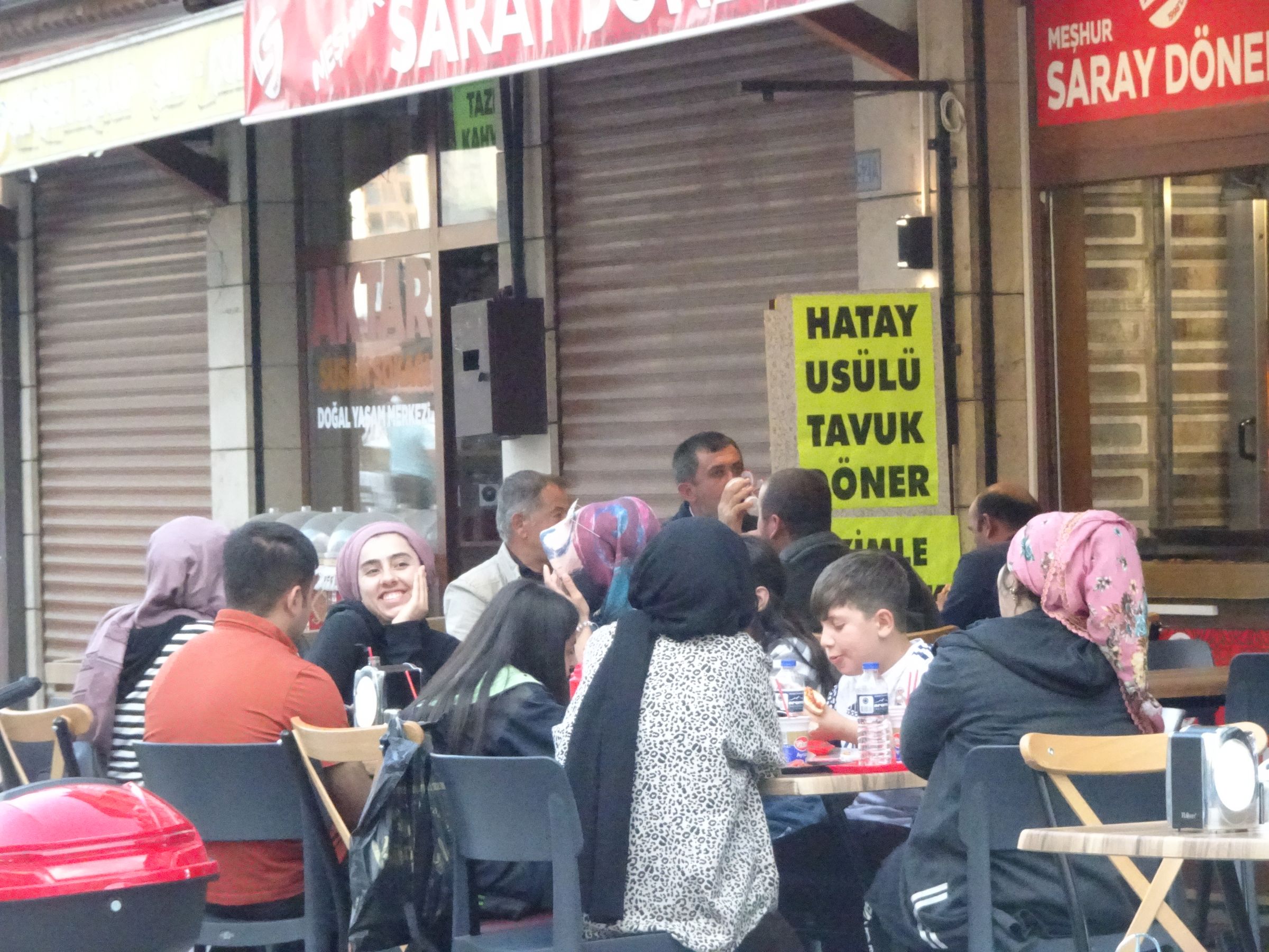
We set off at around 8.30am after an excellent breakfast.
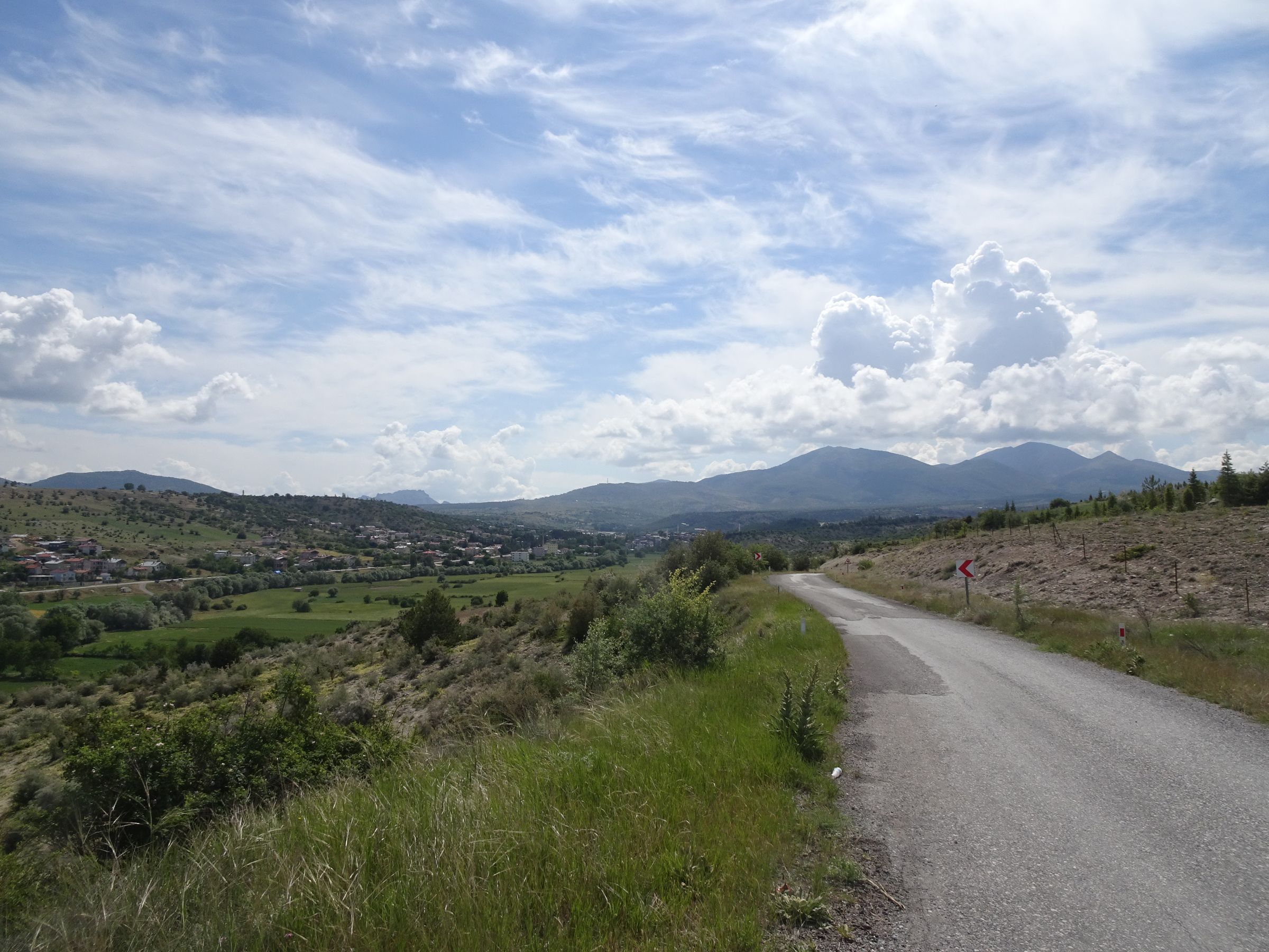
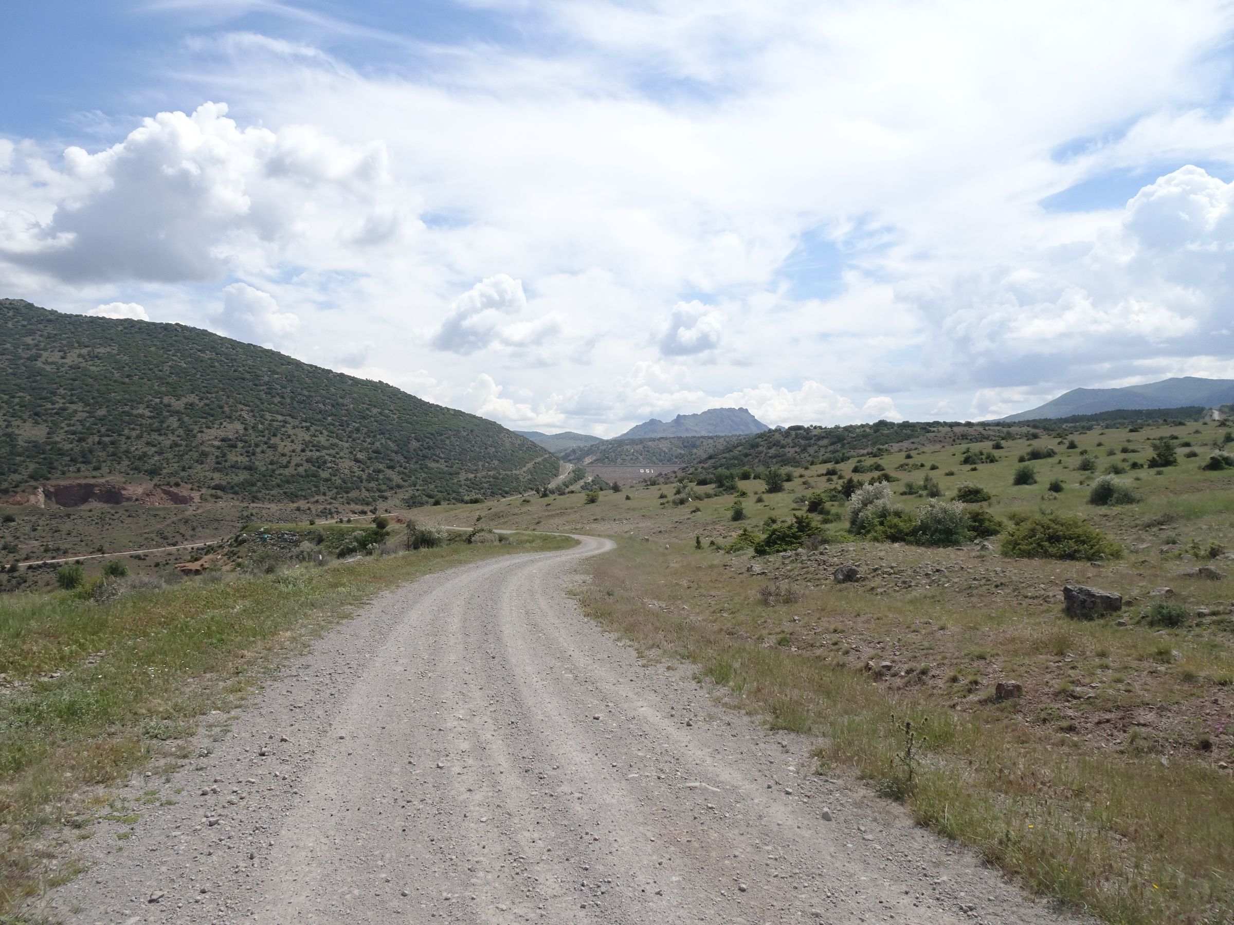
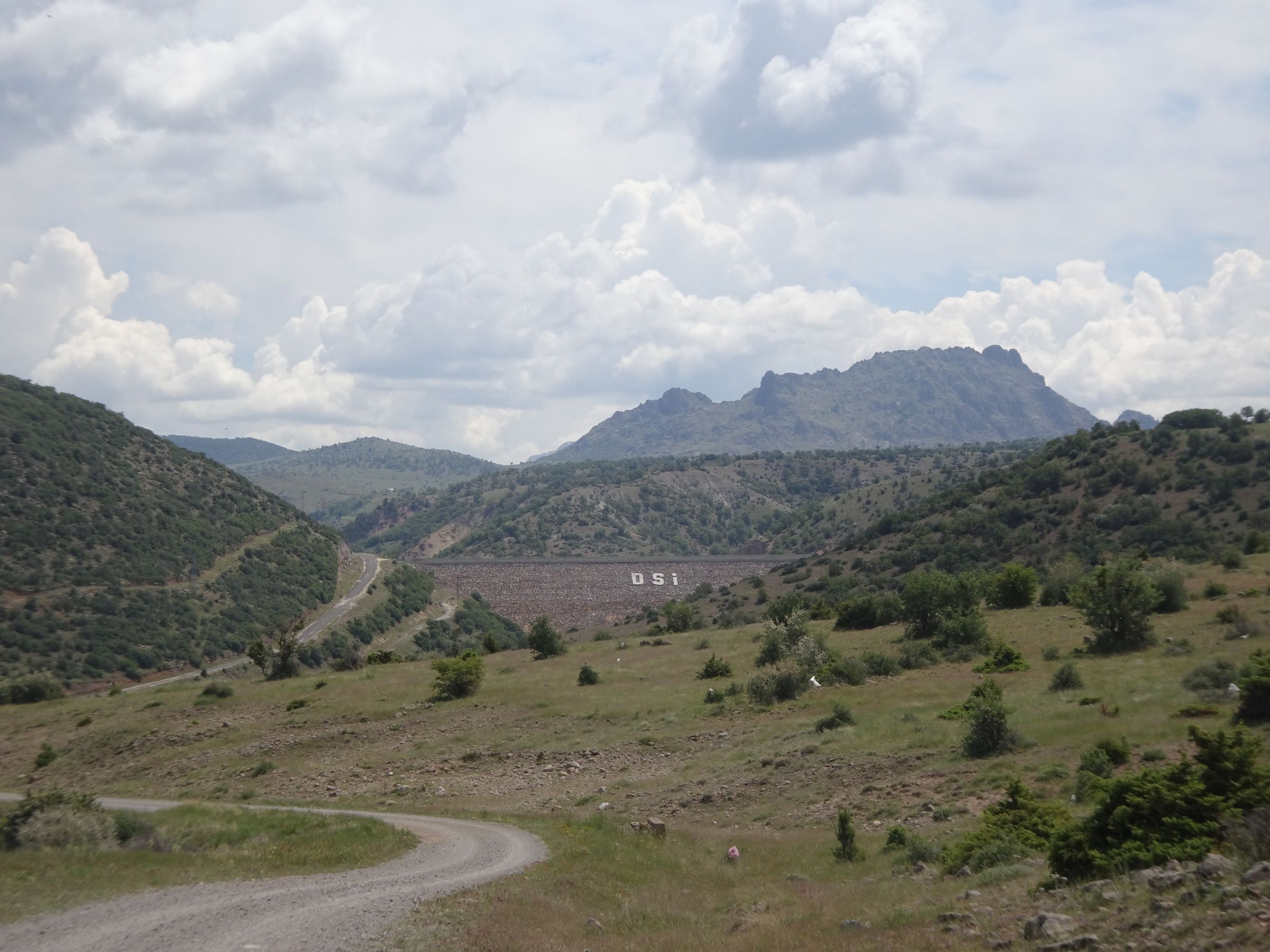
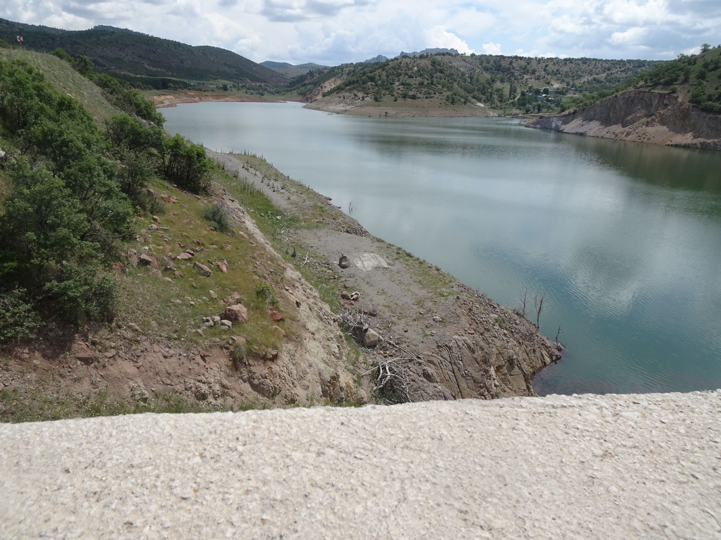
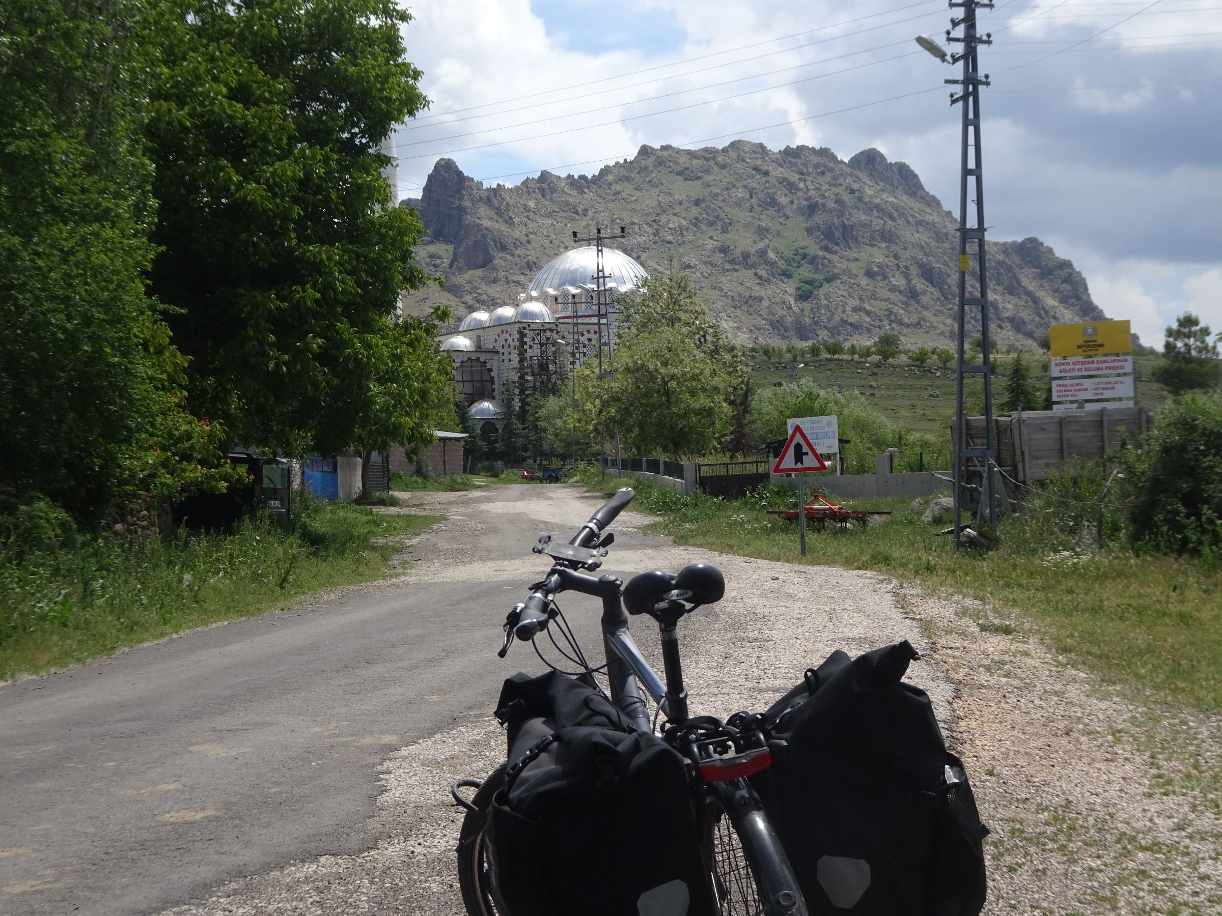
I leave the main road, as planned, but with a little apprehension about the state of the road. I see on the map that after a village the route seems to be on a tiny road.
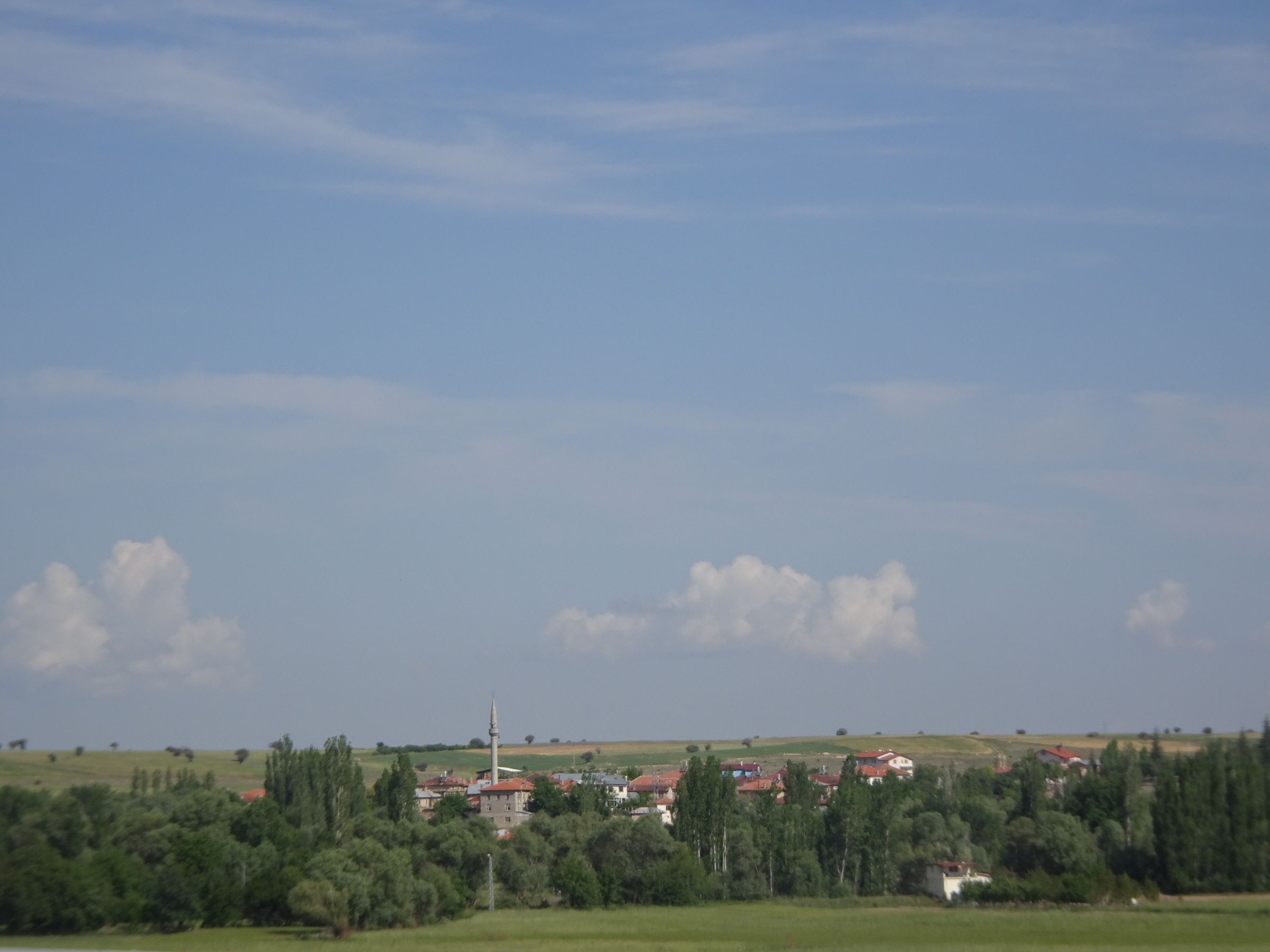
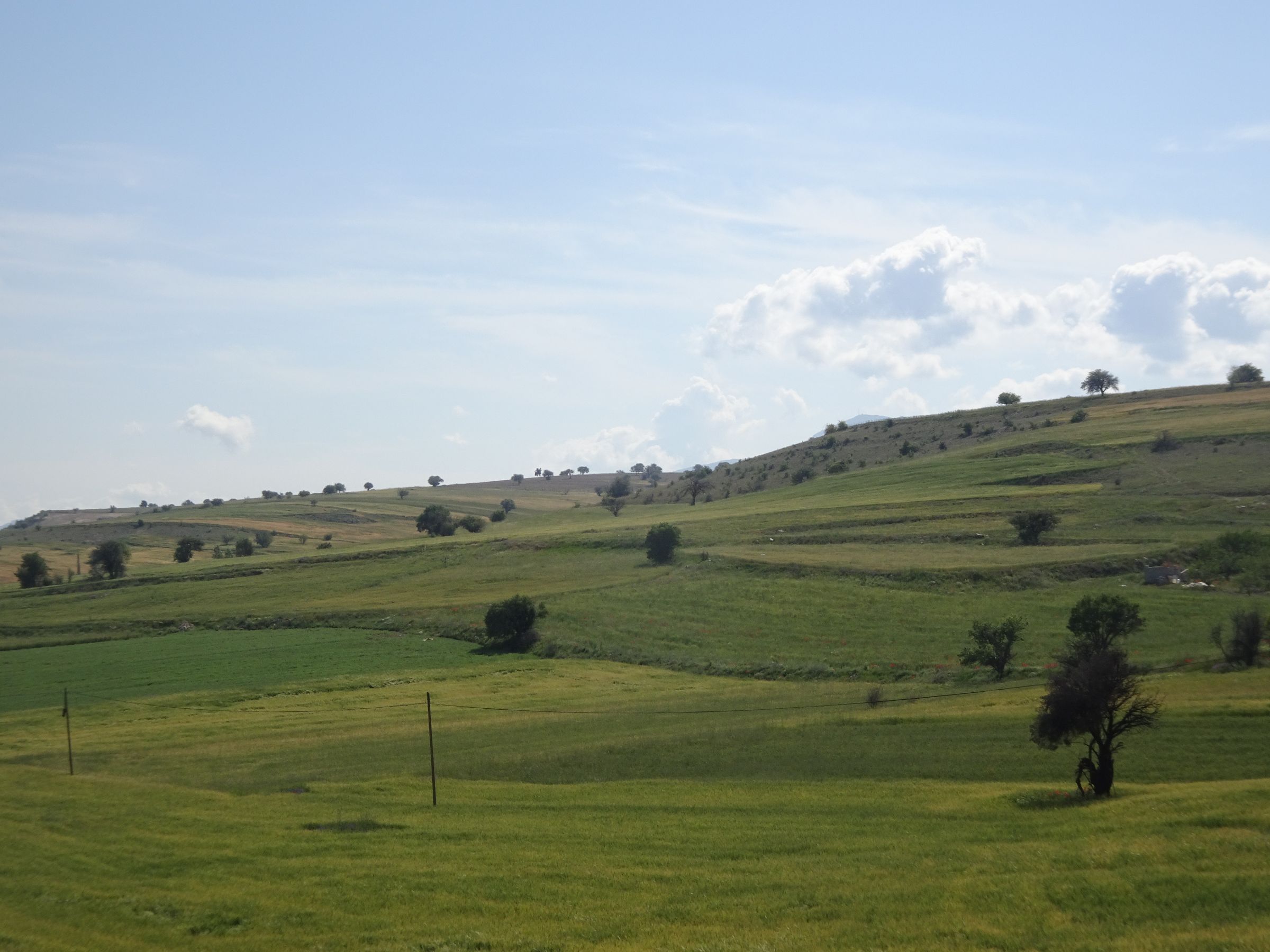
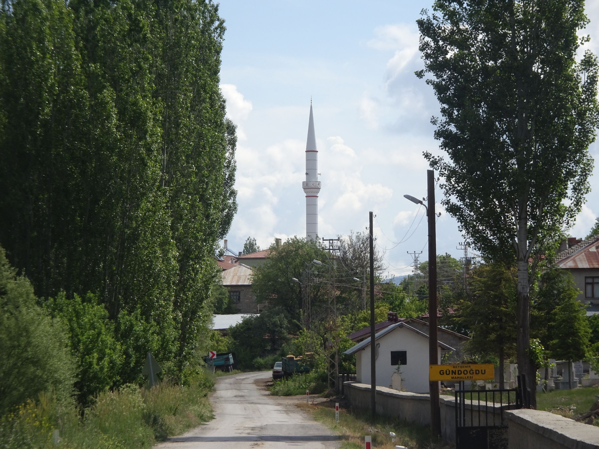
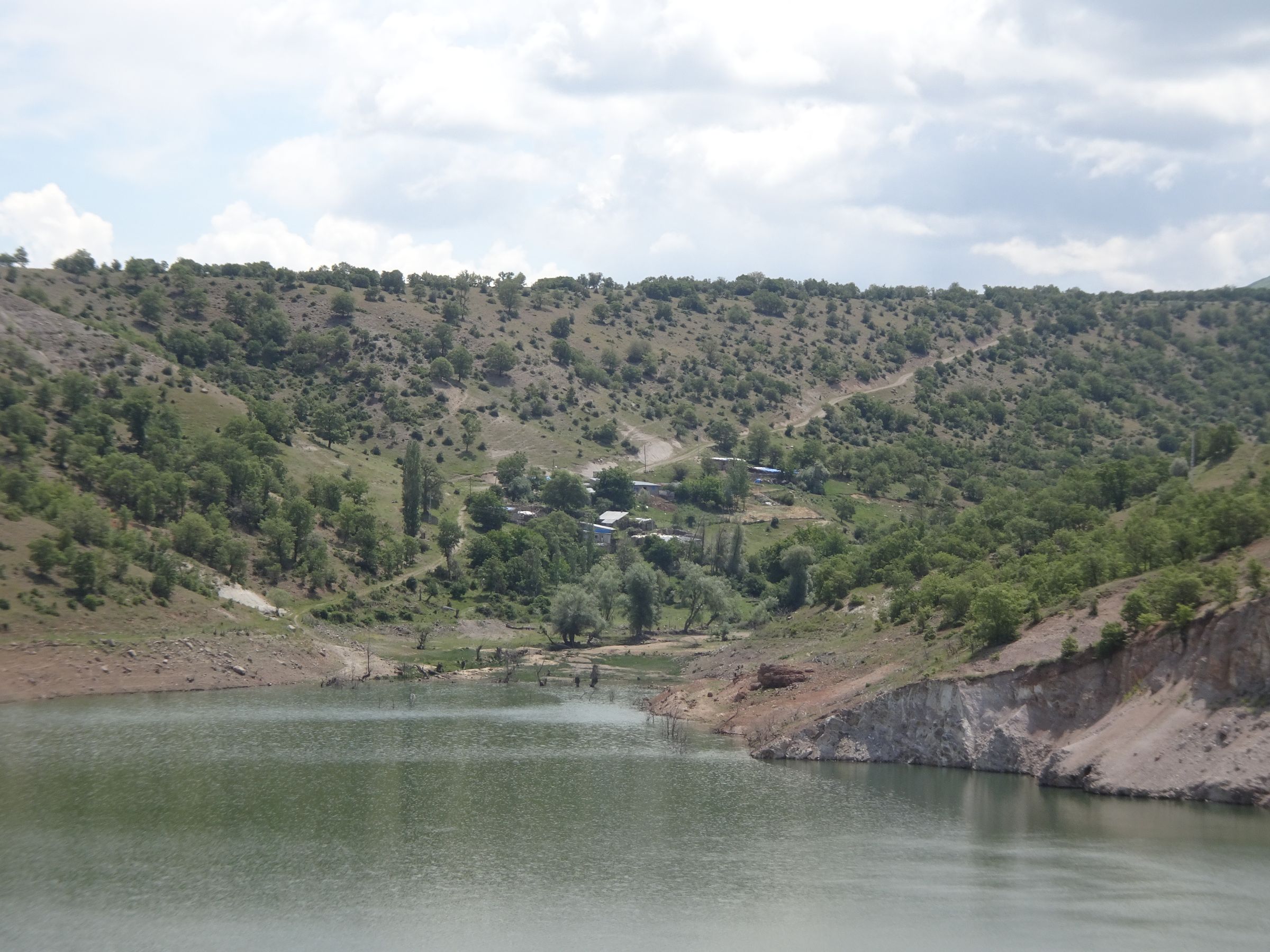
But it quickly becomes gravel. The path leads to a dam and at the dam the path meets a road in perfectly good condition. It’s just that Open Street Map isn’t up to date. After the dam the road remains in excellent condition and passes through a village that isn’t on the map either. I’ll check later but on Google Maps it’s even worse...
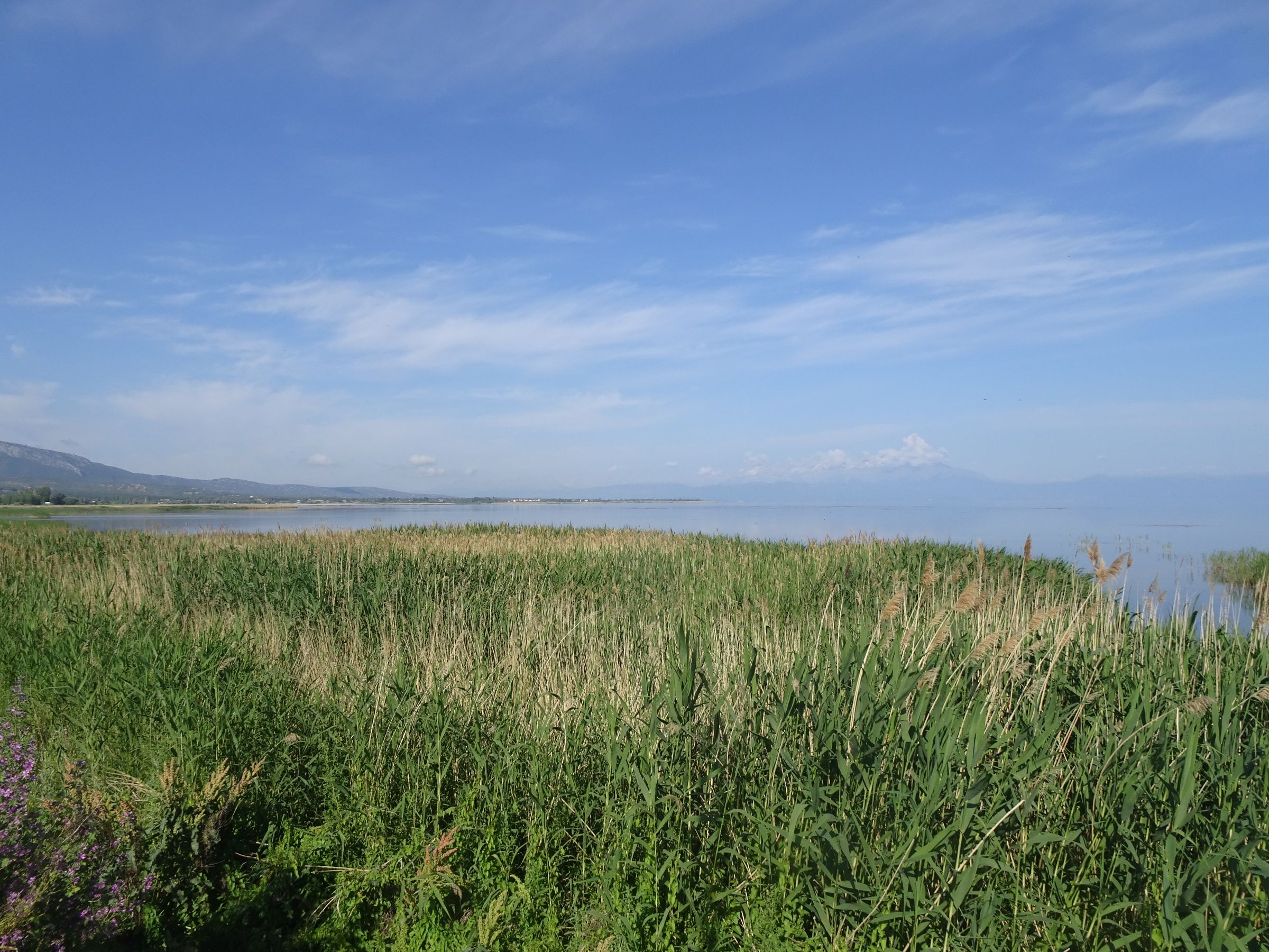
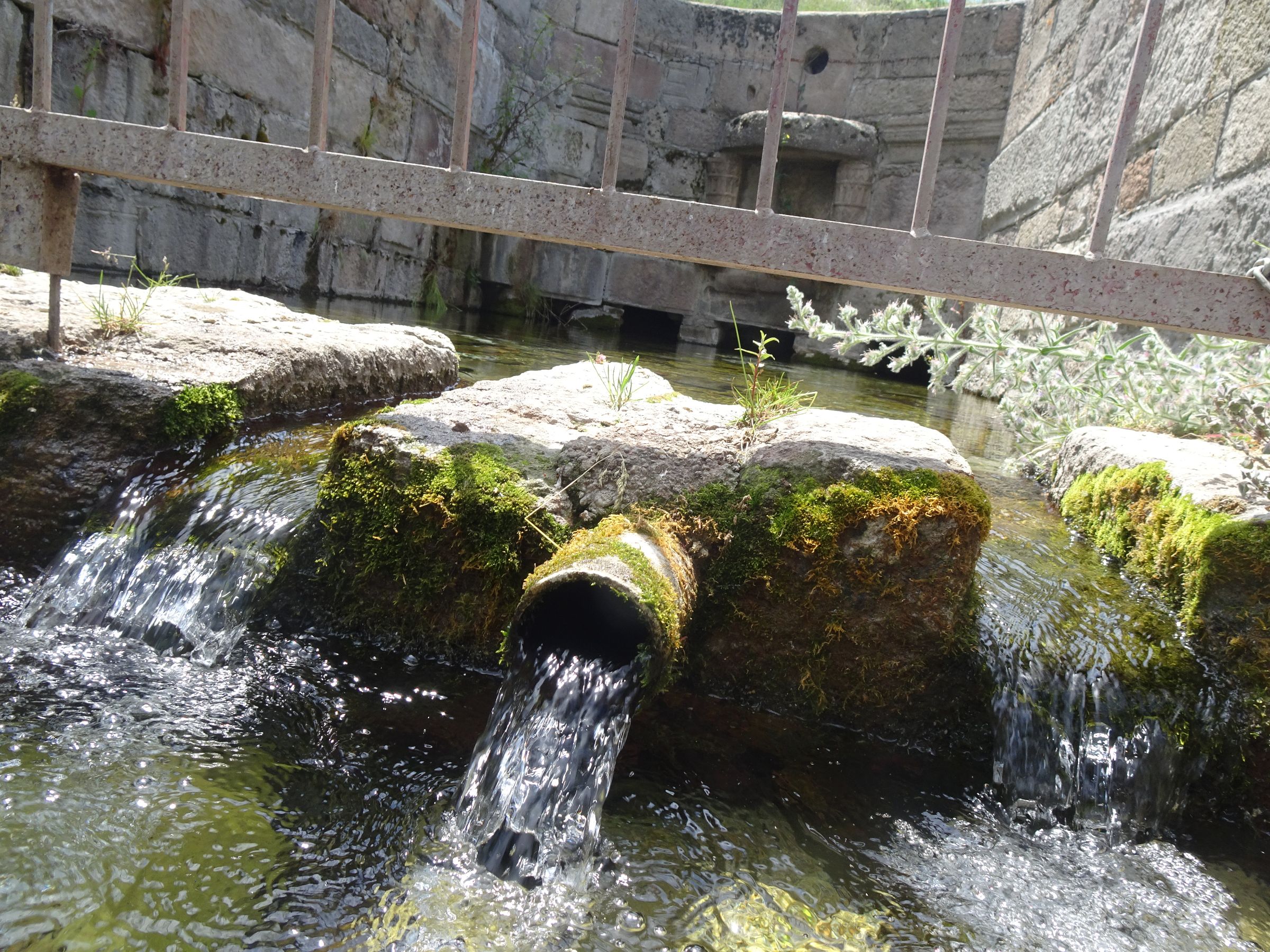
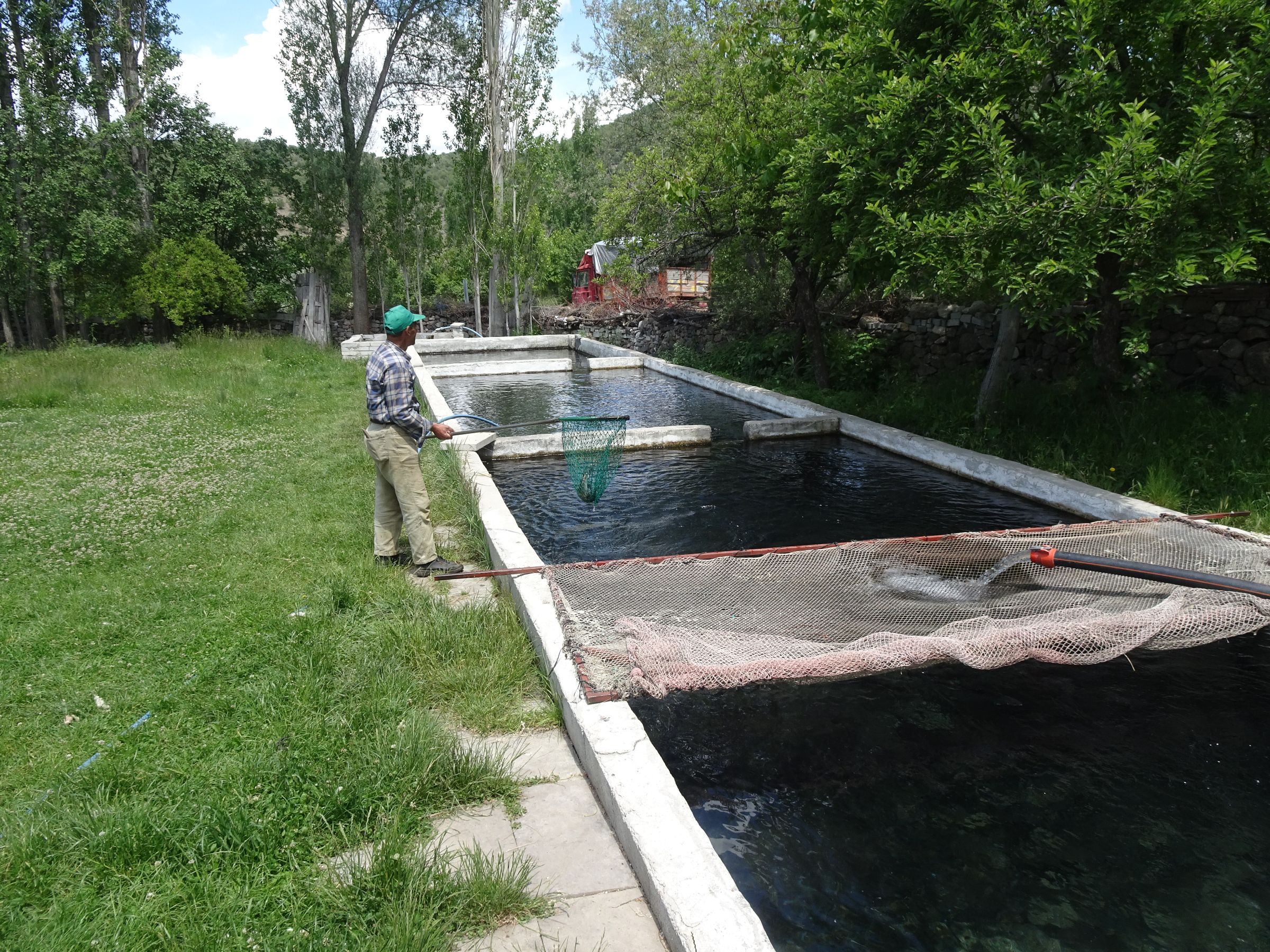
This morning I only set off with a litre and a half of water, so I need to top it up. I stop next to what looks like a water crossing. A local shakes my hand and tells me I can have water. I fill my can, the flow is strong and the water clear. The guy invites me to go to his house, and in fact he shows me his fish farm in the spring water, proof no doubt that the water is good.
Everyone told me that you could drink water in the mountains, but back on my bike I slipped a micropur capsule into my water bottle anyway...
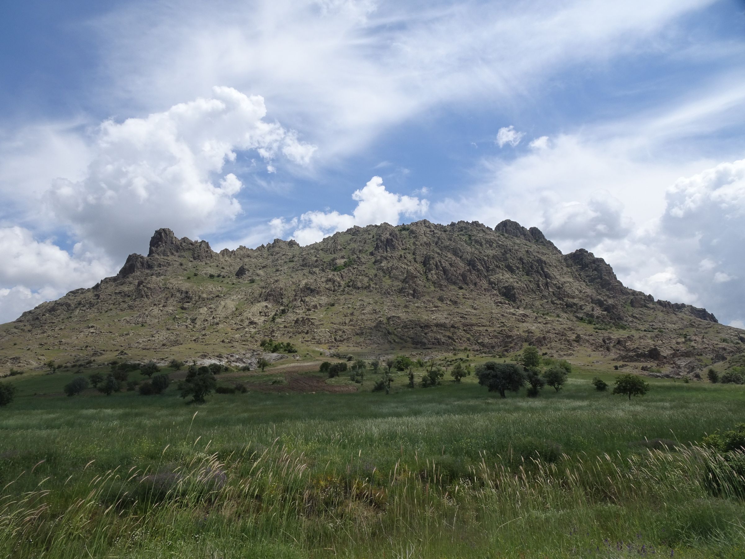
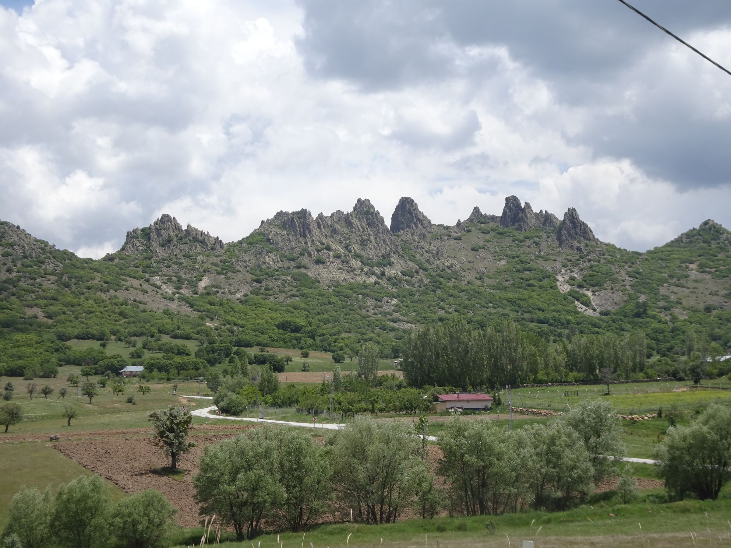
I pass the highest point on my route, 1614m, before rejoining the main road.
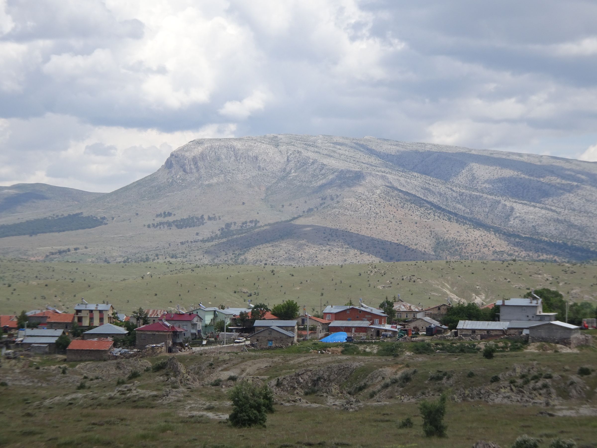
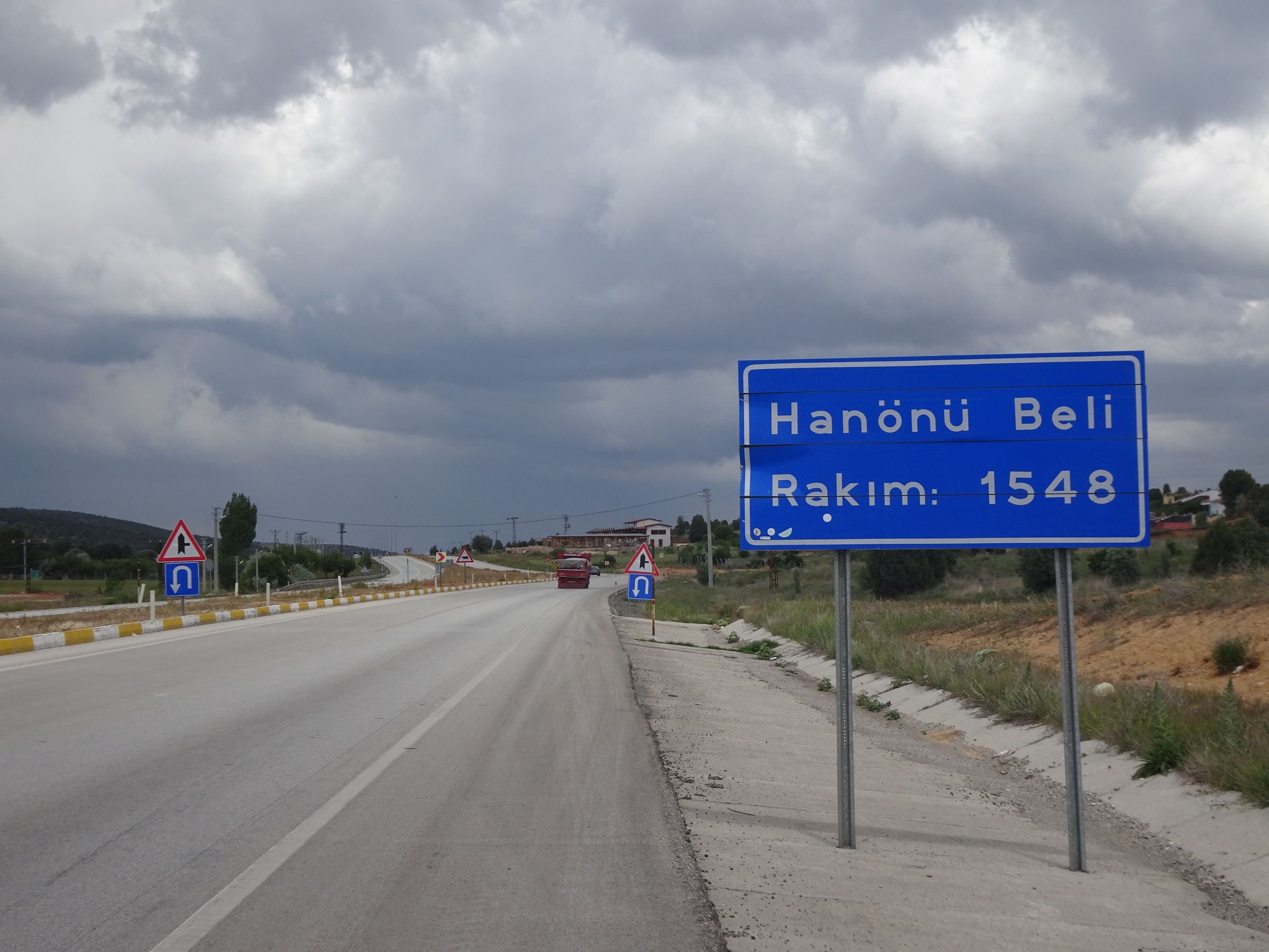
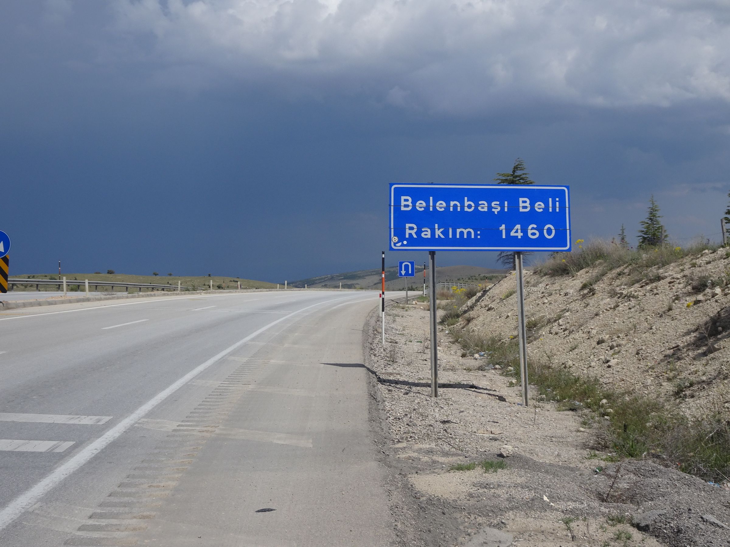
On the main road I pass two official passes...
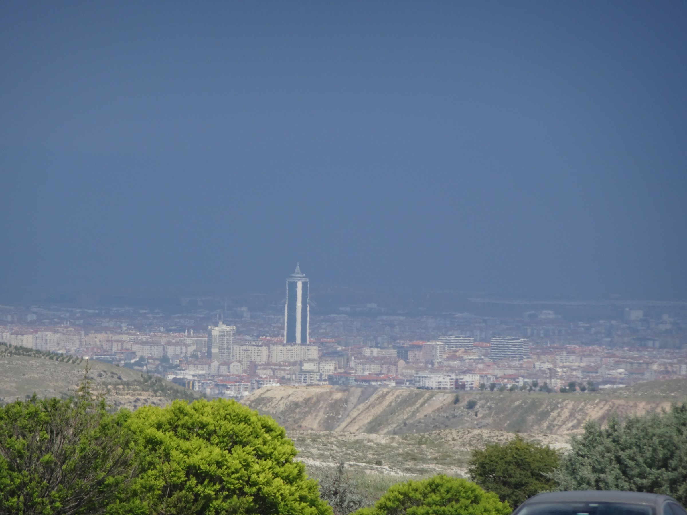
In the distance ahead of me, the sky is black. I hope to escape the rain, but it catches me a little. It’s unpleasant but I don’t even get out my rain gear. It stops fairly quickly.
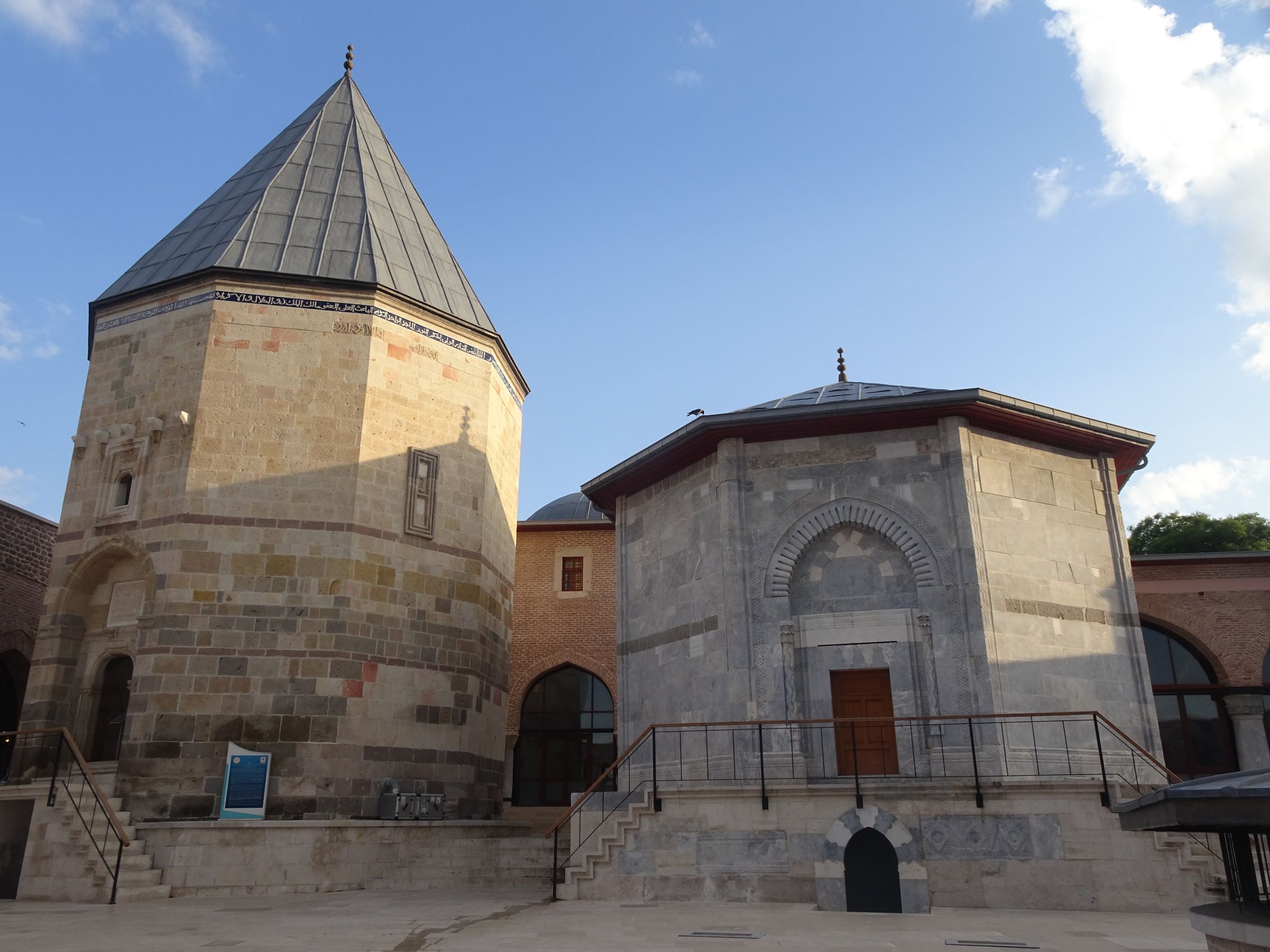
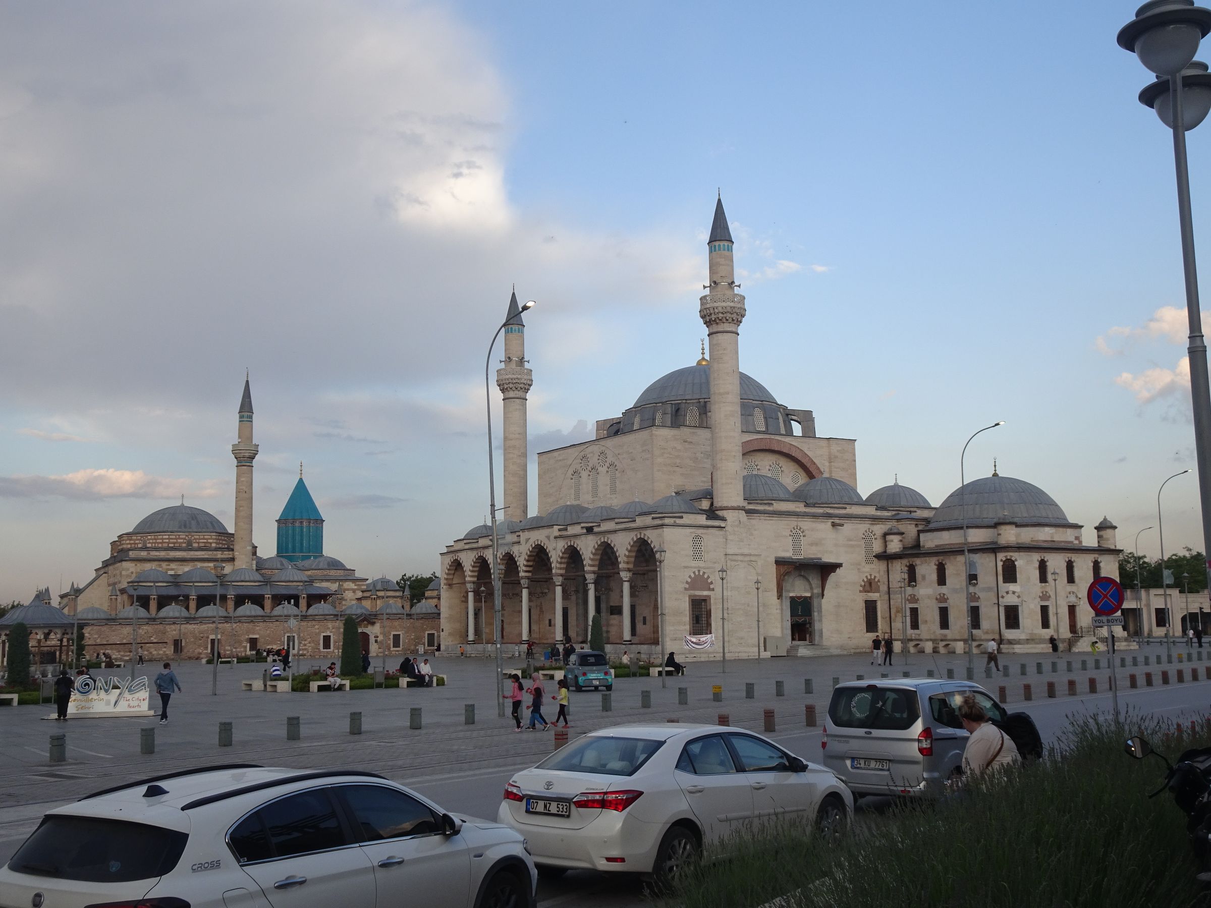
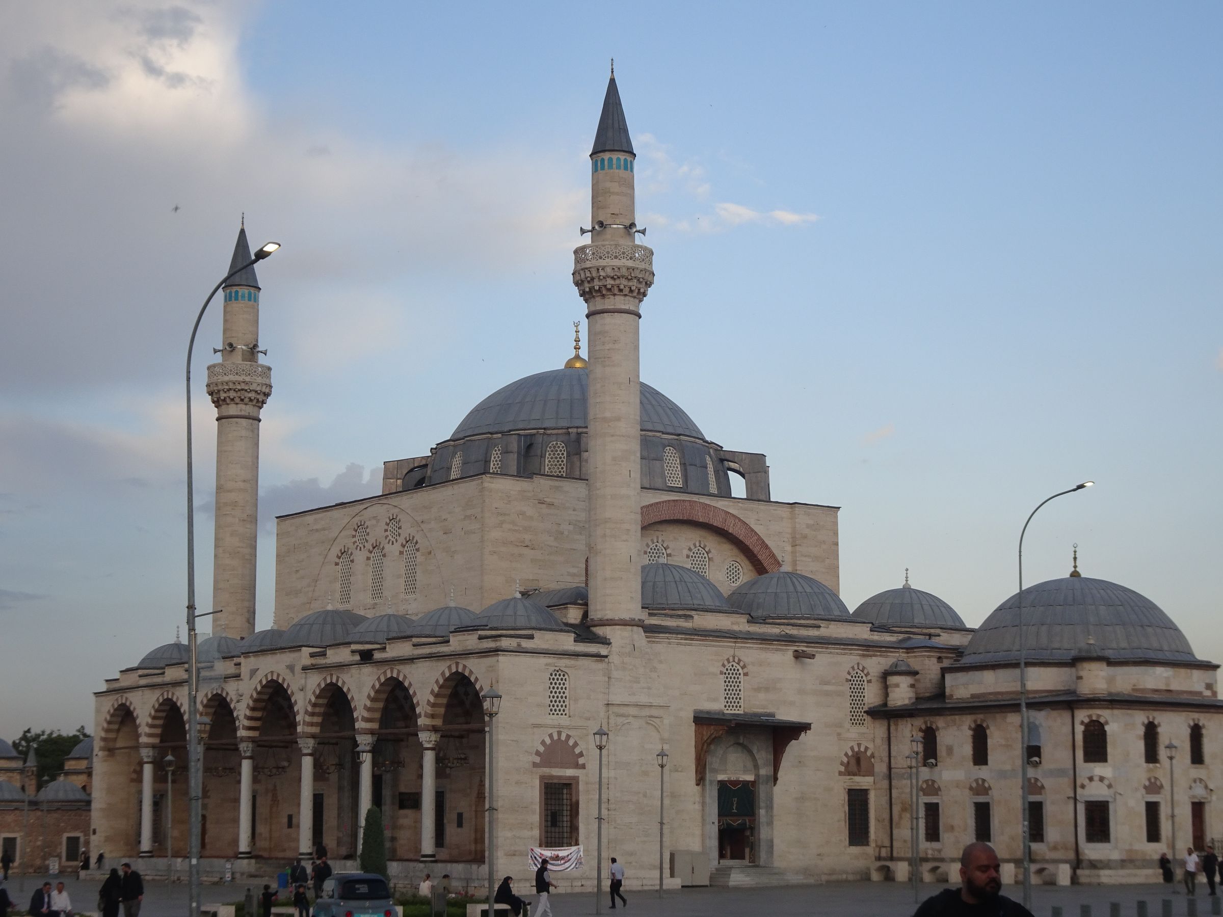
Konya is bigger (two million inhabitants) but also more majestic with magnificent mosques. There are said to be over three thousand of them.
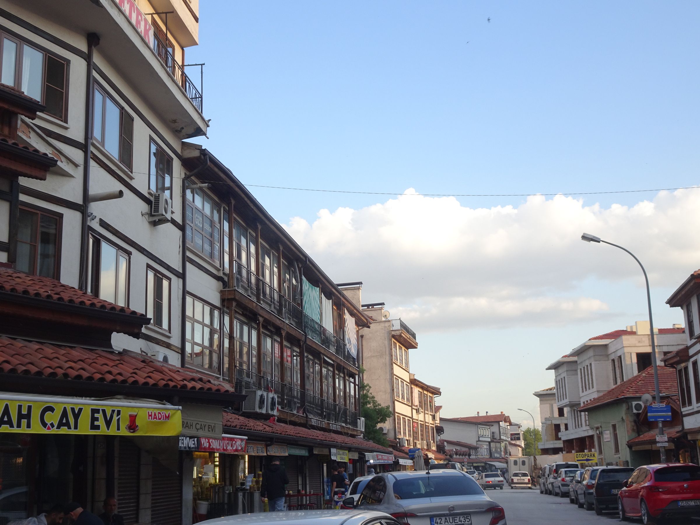
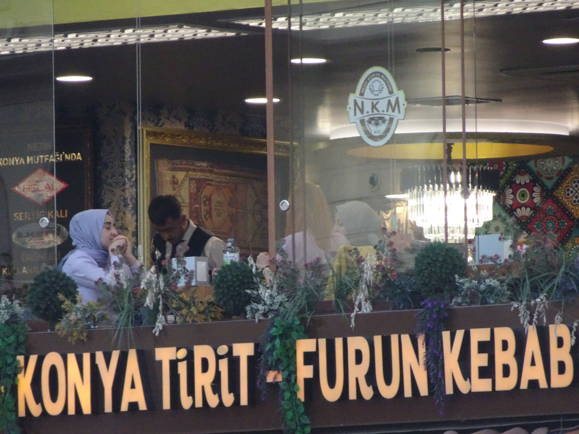
Tomorrow’s a day to visit 🙂